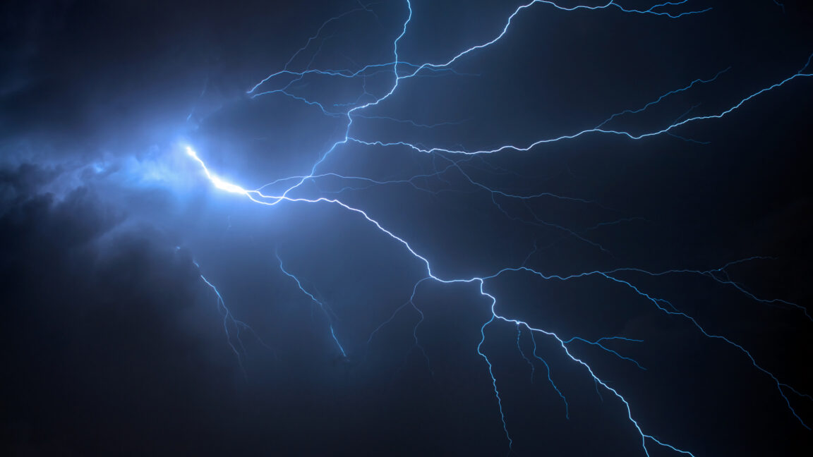
Researchers at Penn State have developed a novel method to study the Earth's subsurface by analyzing seismic waves generated by thunderstorms, known as "thunderquakes." These naturally occurring events create complex acoustic shock waves that enter the Earth's crust, providing data that can be used to map underground features.
The complexity of thunderquakes arises from the nature of thunder itself, which is caused by superheated plasma bubbles along a lightning strike. Each bubble can generate an acoustic shock wave, leading to a chain of interfering waves. These waves interact with various geological materials and human infrastructure upon reaching the Earth's surface, further complicating the signals.
To decipher these signals, the Penn State team employed a 3D seismic wave reconstruction software, SPECFEM3D Cartesian, making several approximations to handle the atmospheric and geological complexities. They tested their model using two years of data from thunderstorms passing over the university's campus, which is equipped with a 4-kilometer fiber-optic line serving as a seismometer. The data, confirmed by the National Lightning Detection Network, revealed multiple signals consistent with the "bead-like" structure of thunder.
Using their model, the researchers identified four "weak zones" beneath the campus where seismic signals slowed down, indicating less rigid materials such as sediments, fractured rock, or areas with high water content. These findings were corroborated by independent methods like radar, engineering surveys, boreholes, and existing seismic data, confirming the model's accuracy despite its approximations. The study highlights the potential of thunderquakes for mapping near-surface geological features, which is crucial for infrastructure development and understanding.