Key facts
- Two new islands have appeared off Anak Krakatau following a 25-hour eruption in early September.
- One island is located to the northwest and the other to the southeast of Anak Krakatau.
- The islands are hundreds of meters from the volcano's coast and lie on a straight line through its crater.
- The Geological Agency confirmed the islands' existence via mariner reports, volunteer observations, and satellite imagery.
- The eruption from September 4-6, 2026, expanded the volcanic edifice by 32.8 hectares.
- The alert status for Anak Krakatau was downgraded to Level II on September 21, 2026.
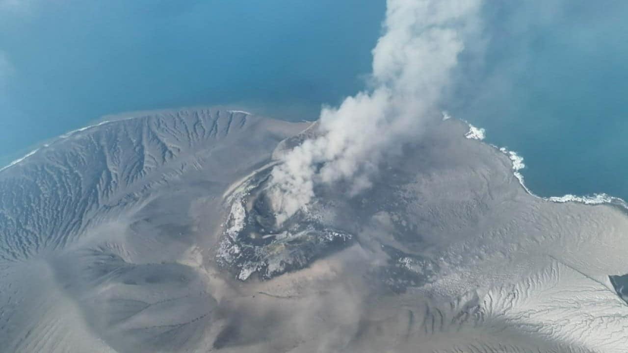
Two new islands have emerged off the coast of Indonesia's Anak Krakatau volcano following a series of eruptions in early September 2026. The formations, discovered after a 25-hour eruption, are located hundreds of meters to the northwest and southeast of the volcano, forming a straight line through its crater.
The Geological Agency confirmed the existence of these new landmasses through reports from mariners, volunteers, and analysis of satellite imagery. The continuous eruptions from September 4 to 6, 2026, are believed to be the cause of the new islands, which expanded the volcanic edifice by 32.8 hectares.
While the emergence of the islands is confirmed, the agency is conducting further analysis to determine if they represent new eruption vents or accumulations of secondary eruptive material. Following the eruptions, the alert status for Mount Anak Krakatau was downgraded from Level III to Level II on September 21, 2026. New hazard zones have been issued, prohibiting the public and tourists from entering within two kilometers of the main crater and one kilometer of the new islands.