Key facts
- Hurricane Polo is a Category 3 storm.
- Landfall is expected Monday night on the Pacific coast of Baja California Sur.
- Sustained winds are forecast to be 60 to 80 mph.
- Heavy rain is expected, raising the risk of flooding and mudslides.
- AccuWeather forecasts Polo will weaken to a Category 1 hurricane before landfall.
- Evacuations, port closures, and school cancellations are in effect along Mexico's Pacific coast.
Hurricane Polo, currently a Category 3 storm, is projected to make landfall on Mexico's Pacific coast in Baja California Sur on Monday night. Forecasters at the US National Hurricane Center reported on Sunday that the storm was about 200 miles offshore, moving north-northwest at 12 mph with sustained winds of 125 mph. Private forecaster AccuWeather anticipates Polo will weaken to a Category 1 hurricane before landfall, but still expects it to cause damage from downed trees and power lines.
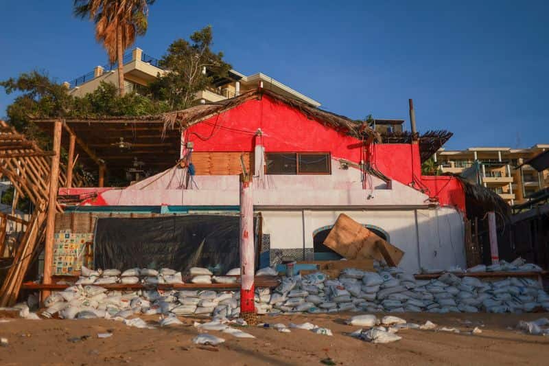
Authorities have already initiated evacuations, closed ports, and canceled schools along Mexico's Pacific coast due to heavy rain, high surf, and strong winds. In San Jose del Cabo, beach access has been restricted. The storm is forecast to bring 4 to 8 inches of rain to Baja California, increasing the risk of dangerous flooding and mudslides, before moving into the northern states of Sonora and Chihuahua.