Key facts
- Hurricane Polo, a Category 5 storm with sustained winds of 160 mph, is forecast to bring 4 to 6 inches of rain to Mexico's coastal areas through Thursday.
- Guerrero state is at particular risk of life-threatening flooding and mudslides.
- Swells generated by Hurricane Polo are expected to cause life-threatening surf, rip currents, and coastal flooding.
- Mexican President Claudia Sheinbaum stated Hurricane Polo was not expected to make landfall.
- Coastal areas of Michoacan, Colima, and Jalisco are also forecast to experience heavy rains.
Southwestern Mexico is bracing for heavy rainfall and potential mudslides as Hurricane Polo, a powerful Pacific cyclone, intensified into a Category 5 storm. The US National Hurricane Center warned of life-threatening conditions, particularly in Guerrero state, which has been repeatedly affected by hurricanes in recent years. Coastal areas are expected to receive significant rainfall through Thursday.
Hurricane-force winds extend up to 40 miles (65 km) from Polo's center, while tropical-storm-force winds extend outward up to 125 miles (205 km). Rainfall totals of 4 to 6 inches (102 to 152 mm), with isolated maximums up to 8 inches, are expected across coastal areas of Guerrero state. Coastal areas of Michoacan, Colima, and Jalisco are also forecast to experience heavy rains.
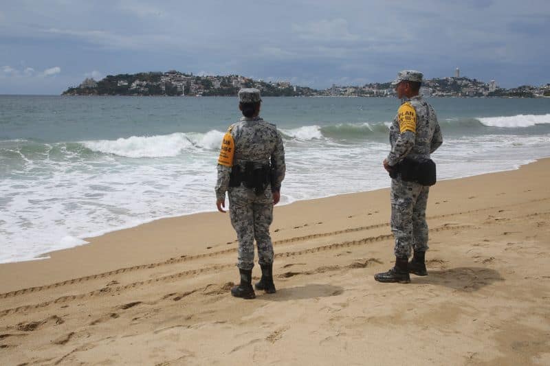
Swells generated by Polo will affect portions of the coast of southwestern Mexico over the next couple of days, likely causing life-threatening surf, rip currents, and coastal flooding. Mexican authorities have initiated evacuations and established shelters, deploying thousands of military and Red Cross personnel to the affected region.