Key facts
- The UN General Assembly passed a resolution favoring equal-area map projections.
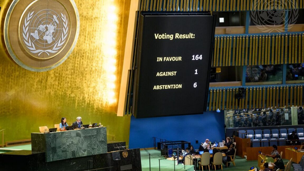
- 164 countries voted in favor, with the US voting against.
- The resolution encourages the use of maps like the Equal Earth projection.
- Popular navigation apps like Google Maps and Apple Maps continue to use Mercator projection variations.
- Mercator maps inaccurately enlarge landmasses farther from the equator, such as Greenland relative to Africa.
The United Nations General Assembly has passed a resolution, with 164 votes in favor and one against, to promote the use of world maps that more accurately represent the size of continents. The resolution, led by African nations, encourages governments, educational institutions, and technology companies to adopt equal-area map projections, such as the Equal Earth projection, when depicting relative sizes.
Despite the UN's endorsement, the resolution is non-binding and is unlikely to alter the prevalent use of the 16th-century Mercator map projection in popular navigation applications like Google Maps and Apple Maps, which collectively serve billions of users. The Mercator projection, while historically valuable for maritime navigation due to its ability to display straight compass bearings, distorts the perceived size of landmasses, significantly enlarging areas farther from the equator. This results in inaccuracies, such as Greenland appearing comparable in size to Africa, despite Africa being 14 times larger.
The United States was the sole country to vote against the resolution, with its delegation describing it as a "radical ideological project." The resolution also advocates for educating the public about the inherent trade-offs in representing a spherical planet on a flat surface. Some research suggests that the visual distortions of the Mercator map could have geopolitical implications, potentially influencing public perception on issues like territorial acquisition proposals.