Key facts
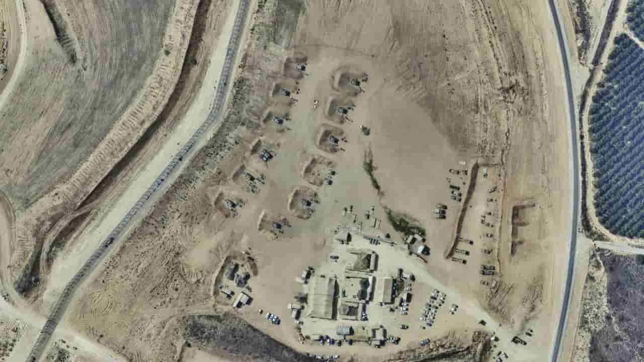
- Israel's official mapping service GovMap briefly published unblurred satellite imagery of Gaza.
- The imagery, dated from 2025, showed military installations and widespread destruction in northern Gaza.
- The unblurred images covered areas including Beit Lahia and Beit Hanoun.
- At least 11 Israeli army sites were visible within the military's buffer zone.
- GovMap has since resumed blurring the entire Gaza Strip.
Israel's official public mapping service, GovMap, inadvertently published high-resolution satellite imagery of Gaza displaying military installations and extensive destruction before re-blurring the images. The lapse, noticed on Monday by an open-source intelligence account on X, provided a rare glimpse into the wartime visuals of the Gaza Strip, which is typically heavily censored by the Israeli government.
The unblurred imagery, dated from 2025, focused on parts of northern Gaza, including the heavily impacted cities of Beit Lahia and Beit Hanoun. It revealed at least 11 Israeli army sites situated within the military's buffer zone. While the images do not necessarily reflect the current state of military bases, they align with previous reports on Israeli military presence and the scale of destruction in the territory.
Middle East Eye could not independently verify the images. Official figures state that at least 73,928 Palestinians have been killed and over 175,030 wounded since October 2023. Independent assessments indicate that more than 80 percent of Gaza's buildings have been damaged or destroyed during the conflict.