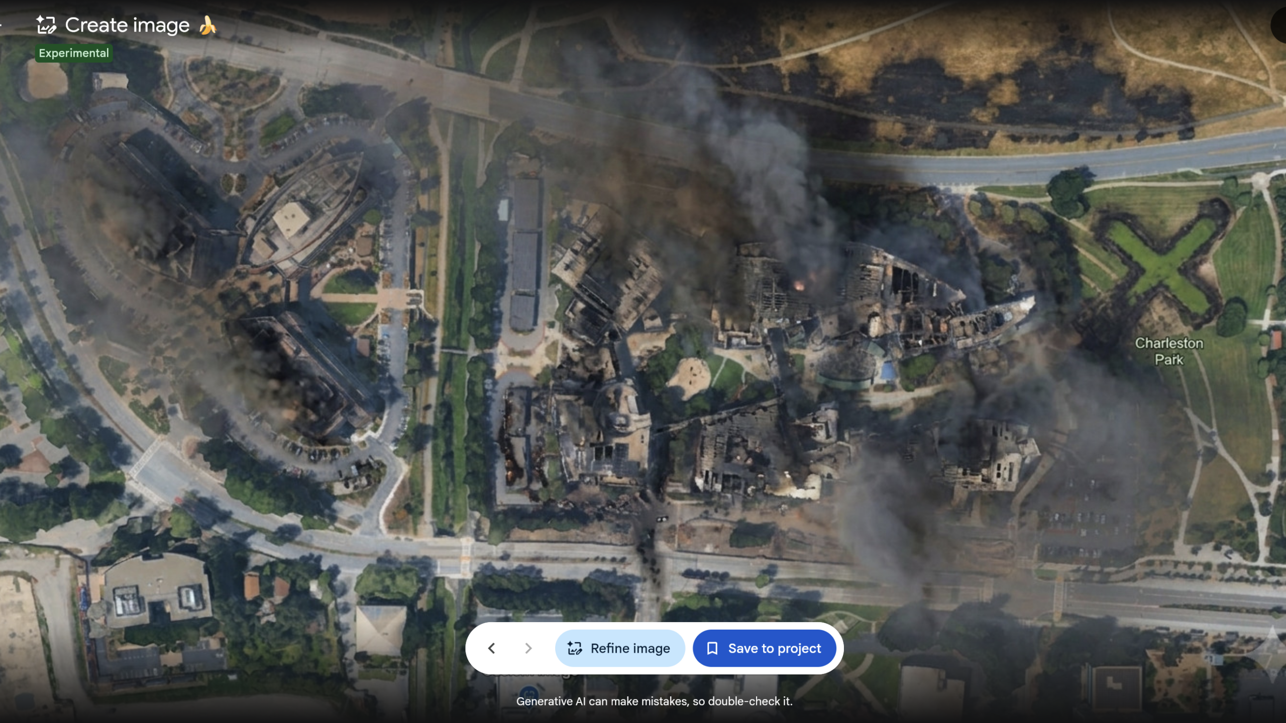
Google has quickly removed a new AI image generation feature from Google Earth after it faced backlash and concerns about its potential to spread misinformation and disinformation. The tool, which allowed users to create AI-modified versions of satellite imagery based on prompts, was only available for a short period.
Researchers, including Eliot Higgins of Bellingcat and independent investigator Henk van Ess, immediately voiced concerns about the feature's potential for misuse. They demonstrated how the tool could simplify the creation of false scenarios overlaid on Google Earth's photorealistic imagery, undermining its utility as a verification source. Van Ess provided examples of depicting refugees near the Mexican border, a nuclear plant in Iran, and a fatal crash, all using Google Earth's underlying imagery.
Google initially pointed to its SynthID digital watermarking system as a safeguard, stating that all AI-generated images would include a watermark detectable by Gemini or Lens. However, previous testing indicated SynthID's limitations, and it was unable to verify images captured via a smartphone camera of an AI-altered image. Van Ess also questioned why the policy against harmful topics did not prevent depictions of sensitive scenes.
Google acknowledged that while geospatial professionals found uses for the feature, users were sharing screenshots of generated imagery that violated its policies. The company stated it is rolling back the feature to implement stronger guardrails, suggesting it may return in the future.