Key facts
- A Met Office yellow wind warning is in effect for parts of the Scottish Highlands and Western Isles on Wednesday from 10:00 to 19:00 BST.
- Gusts of 50-60mph are likely, with exposed coasts and hills potentially experiencing gusts of around 70mph.
- Heavy rain is expected in parts of Scotland and Northern Ireland.
- The weather system is linked to the remnants of Hurricane Isaias.
- Temperatures across the UK are forecast to be 2-4C above the mid-October average.
- A new flood and drought task force is set to meet to assess the UK's preparedness for wet, windy, and stormy conditions.
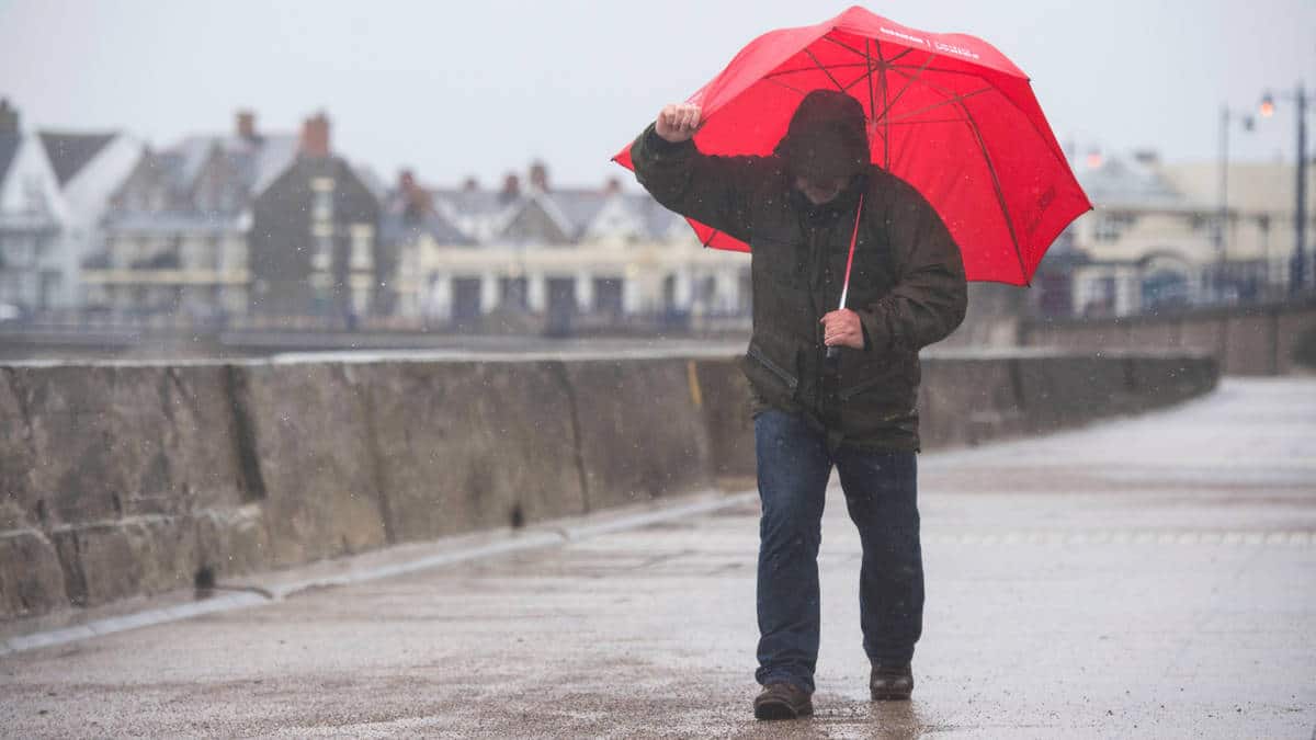
North-west Scotland and the Western Isles are bracing for strong winds and heavy rain as a Met Office yellow warning comes into force on Wednesday. Gusts are predicted to reach up to 70mph in exposed coastal and hilly areas, with widespread winds of 50-60mph expected.
The weather system, which contains the remnants of Hurricane Isaias, is also forecast to bring heavy rain to parts of Scotland and Northern Ireland. However, much of England and Wales are expected to remain largely dry with spells of sunshine.
The low-pressure system, which has undergone explosive cyclogenesis, is being steered by a powerful jet stream, with its most significant impacts staying hundreds of miles from UK shores. Wind gusts over the sea between Iceland and the Faroe Islands could exceed 110mph, but this level of severity is not anticipated near the UK.
Beyond the immediate weather impacts, the UK is also facing a heightened potential for wet, windy, and stormy conditions this autumn. A new flood and drought task force, chaired by Defra minister Emma Hardy, is set to meet for the first time to assess the country's preparedness. This task force includes representatives from the Met Office, Environment Agency, and various industry sectors. The government has committed at least £10.5 billion up to 2036 to protect homes, businesses, and critical infrastructure from flooding.