Key facts
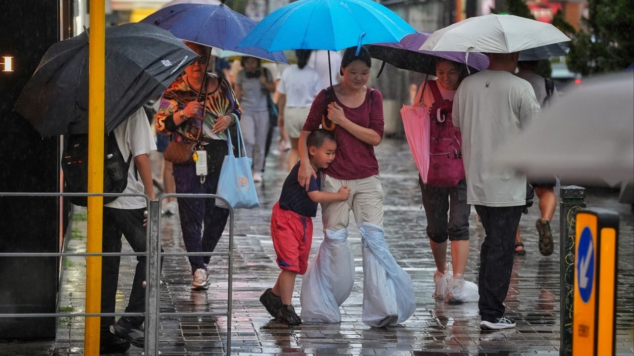
- Hong Kong experienced heavy showers and thunderstorms due to a low-pressure area.
- An amber rainstorm warning was issued and later cancelled on Saturday.
- Over 30mm of rainfall was recorded in many areas, with Tsuen Wan seeing 70mm.
- The Observatory warned of potential flash floods and advised caution.
- Unsettled weather is expected to persist for several days.
- A low-pressure area may develop into a tropical cyclone and affect the region early next week.
Hong Kong is experiencing a period of unsettled weather characterized by heavy showers and thunderstorms, attributed to a trough of low pressure moving over the Pearl River Estuary. The Hong Kong Observatory issued an amber rainstorm warning on Saturday morning, which was later cancelled. Many areas recorded over 30mm of rainfall, with Tsuen Wan experiencing particularly heavy downpours of 70mm. The Observatory has warned of potential flash floods and advised the public to exercise caution. These stormy conditions are expected to continue for several days. Looking ahead, a low-pressure area located west of Luzon may develop into a tropical cyclone and is forecast to move towards the coast of Guangdong and Hainan Island, potentially bringing windy weather with heavy, squally showers and thunderstorms to the region early next week. Prior to this, showers are expected to ease from Friday, giving way to brighter and persistently hot weather over the weekend.