Key facts
- A developing El Niño in the tropical Pacific Ocean is forecast to strengthen and could become one of the strongest on record.
- Scientists warn of potential record global temperatures and significant humanitarian impacts due to the El Niño event.
- The World Meteorological Organization (WMO) has confirmed the onset of El Niño and predicts above-average temperatures globally.
- Climate change can amplify the extreme weather impacts associated with El Niño, even though it does not cause the events themselves.
Scientists are increasingly confident that a developing El Niño in the tropical Pacific Ocean could evolve into one of the strongest on record, with significant implications for global temperatures and weather patterns. Forecasts indicate a high probability of El Niño conditions strengthening over the coming months, potentially peaking as a 'super El Niño' in the autumn.
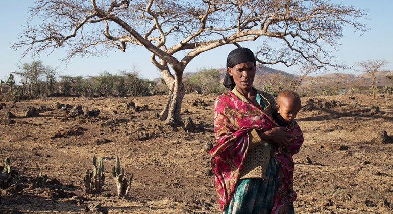
Data shows rapid warming in parts of the Pacific, with sea surface temperatures already exceeding thresholds associated with El Niño. Forecasters from NOAA, the Australian Bureau of Meteorology (BoM), and the European Centre for Medium Range Weather Forecasts (ECMWF) largely agree on the likelihood of a strong event. Some projections suggest temperature rises could surpass historical peaks, though historical data from 1877 has uncertainties. Past very strong El Niños, like the one in 2015-2016, have been linked to catastrophic climate events, including extreme drought, famine, and severe flooding.
The World Meteorological Organization (WMO) has officially confirmed the onset of El Niño, warning that it will likely bring above-average temperatures globally and fuel more extreme weather. While El Niño is a natural climate pattern, the WMO notes that a warmer climate due to human-induced climate change can amplify the impacts of associated extreme weather events, such as heatwaves and heavy rainfall. The WMO emphasizes the importance of early warning systems and preparedness to mitigate the humanitarian and economic consequences.